

Description
Product Overview
The DK Children Kids Atlas is a thoughtfully designed digital atlas that brings the vastness of the world into the palm of a child’s hand. With 66 meticulously curated pages, each spread balances detailed cartographic information with engaging visual storytelling, ensuring that young readers can absorb complex geographic concepts without feeling overwhelmed. The atlas leverages Kindle’s X‑Ray technology, allowing users to instantly jump to specific regions, capitals, or landmarks, making research swift and intuitive. Enhanced with high‑resolution images, the atlas showcases continents, oceans, and major cities in vivid color, while concise captions provide context about cultural landmarks, climate zones, and historical significance. This combination of visual appeal and factual depth creates an immersive learning experience that aligns with curriculum standards for grades 4 through 7.
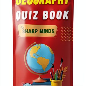
![[Product front view showing all components]](https://www.healthyfamily.store/wp-content/uploads/2026/06/5030c5c43f964c198483be9c986c5dc3.jpg)
Usage
Designed for flexibility, the atlas fits seamlessly into a variety of learning environments. In the classroom, teachers can assign interactive map explorations as part of geography units, encouraging students to investigate regions independently or collaborate on group projects. For homeschooling families, the atlas serves as a core resource that complements textbook lessons, allowing parents to tailor activities to their child’s interests—whether that’s tracking migration patterns, exploring natural wonders, or comparing population statistics. The Kindle format also makes the atlas ideal for travel; children can explore new destinations before a trip, reinforcing place‑name recognition and cultural awareness, and then reference the same content on the go, whether on a tablet, smartphone, or e‑reader.
Beyond formal education, the atlas supports casual curiosity. Young readers can use it to answer everyday questions—like “Which country has the largest desert?” or “Where do the world’s major rivers flow?”—turning spontaneous inquiries into structured learning moments. The built‑in X‑Ray feature streamlines these explorations, letting users locate information with a few taps, while the Kindle’s adjustable font sizes and night‑mode display ensure comfortable reading in any lighting condition.
Why Choose Us
DK Children has a long‑standing reputation for producing high‑quality educational content that blends rigorous research with child‑friendly design. This atlas continues that tradition by employing a team of geographers, educators, and illustrators who collaborate to ensure accuracy, relevance, and visual appeal. Each map is vetted against the latest geographic data, and the accompanying text is written in clear, age‑appropriate language that aligns with national standards for social studies. The result is a trustworthy resource that parents and teachers can rely on for both classroom instruction and independent study.
In addition to content excellence, DK Children prioritizes durability and accessibility. The Kindle edition eliminates the risk of physical wear and tear, while the digital format offers instant updates—future revisions can be delivered directly to the device without the need for a new purchase. Customer support is available around the clock, providing assistance with device compatibility, navigation tips, and troubleshooting. This commitment to after‑sales service ensures that families receive ongoing value from their investment, fostering a long‑term partnership between the brand and its users.
Key Features
- Vivid, full‑color maps that capture geographic detail while remaining easy for young eyes to read.
- Integrated X‑Ray support for instant access to countries, capitals, and key landmarks.
- Age‑appropriate narratives that explain cultural, environmental, and historical context.
- Optimized for Kindle devices with adjustable text size, night mode, and seamless syncing across devices.
- Dedicated customer support and free updates to keep the atlas current and functional.
FAQ
What age range is this atlas best suited for?
The atlas is designed for children ages 9‑12, which corresponds to grades 4‑7. The language, map detail, and interactive features align with curriculum goals for that age group.
Can the atlas be used on devices other than Kindle?
Yes, the Kindle edition can be accessed on any device that supports the Kindle app, including tablets, smartphones, and computers, ensuring flexibility for different learning settings.
Does the atlas include any interactive quizzes or activities?
While the primary focus is on maps and informational text, the Kindle platform allows users to create bookmarks and notes, which can be turned into personalized quizzes or study guides.
How does X‑Ray enhance the learning experience?
X‑Ray lets readers tap on a region to instantly view related terms, definitions, and related content, speeding up research and reinforcing memory through quick, contextual retrieval.
Is there a way to receive updates if geographic data changes?
Yes, DK Children provides free digital updates. When a new edition is released, it can be downloaded directly to the Kindle device at no additional cost.



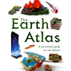
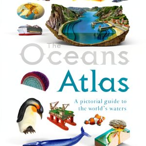 DK Children Kids Atlas for Grades 4-7 66 Page Illustrated Geography
  Giunti Italian Historical Fiction eBook – 362‑Page 19th Century Tale
  Spanish Children Atlas of Europe by Amazon Print Replica Ages 4-9
 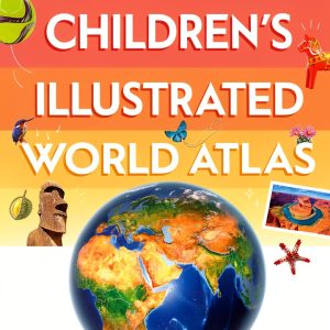 DK Children Kids Atlas Ages 9‑12 – Illustrated Kindle eBook
  Stopcocks Tomopal Nylon with Clear PC Lock Ring Pack of 50
  QWORK 3-Way Stopcocks Luer Connection Injection Stopcock 20 Pack
  BBC Children Atlas Interactive World Map for Ages 8 to 17
 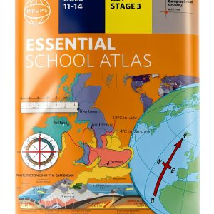 Kids Earth Atlas by Phillips Kindle Edition for Ages 11 to 14
  World Atlas for Kids Print Replica eBook by Amazon Age 10-18 1.7 MB
  Historical Fiction eBook by Crescere Italian Kindle Edition 406 Pages
Reviews
There are no reviews yet.